 |
|
CURRENT
RESEARCH |
|
VISITORS
& VOLUNTEERS |
| Co-Directors of the research project are Cheryl Ann Munson of Indiana Univeristy - Bloomington and Dr. Robert G. McCullough of IPFW. The project has received the generous support of: the landowner; professional archaeologists at many institutions in Indiana and Kentucky; the Falls of the Ohio Archaeological Society; regional historical organizations; and volunteers. |
|
|
|
Questions
or Comments?
|
|
Last
Updated 2.07.2004
|


July
2003 Auger Sample Work
Click on any picture for a larger
version
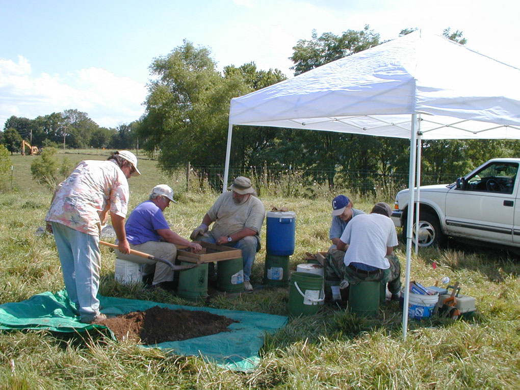
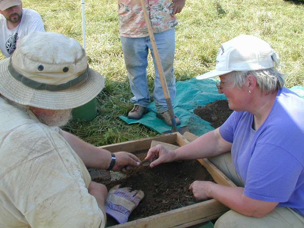
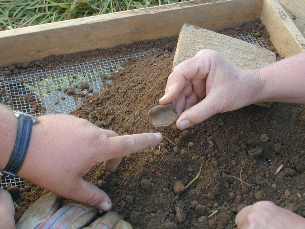
Screening soil from another deep auger sample at N980, E980. This
sample contained abundant bone including fish scales and vertebrae, plus
Mississippian pottery (mostly plain, but Bob and Cheryl happily find one
Mathews Incised rim sherd).
In all, 51 grid locations
were investigated by augering at 20-m intervals, within an area measuring
174,000 m2 or 1.74 ha, which is the equivalent of 4.3 ac. Excavated holes
at datums were also screened, and additional special samples were collected
(1 soil, 1 flotation, 2 in situ charcoal, 1 piece-plot, and 6 diagnostic
artifacts found on the surface).
Following fieldwork, all collected materials were cleaned and readied
for cataloging. Pre-modern aerial photographs were obtained from the Clark
County NRCS office in the hope of identifying mound locations or prehistoric
anthrosols. Initial results are negative.
The next phase of the survey will take place over 15 days of field work scheduled for October 22-November 9, 2003 (working Wednesday-Sunday).
For a condensed version of the July 2003 auger survey work summary,
minus photos, click HERE.