|
CURRENT
RESEARCH |
|
VISITORS
& VOLUNTEERS |
| Co-Directors of the research project are Cheryl Ann Munson of Indiana Univeristy - Bloomington and Dr. Robert G. McCullough of IPFW. The project has received the generous support of: the landowner; professional archaeologists at many institutions in Indiana and Kentucky; the Falls of the Ohio Archaeological Society; regional historical organizations; and volunteers. |
|
Questions
or Comments?
|
|
Last
Updated 2.07.2004
|
July
2003 Auger Sample Work
Click on any picture for a larger
version
The first phase of field work for the survey took place during July 8-14, 2003, under the co- direction of C.A. Munson and R.G. McCullough.
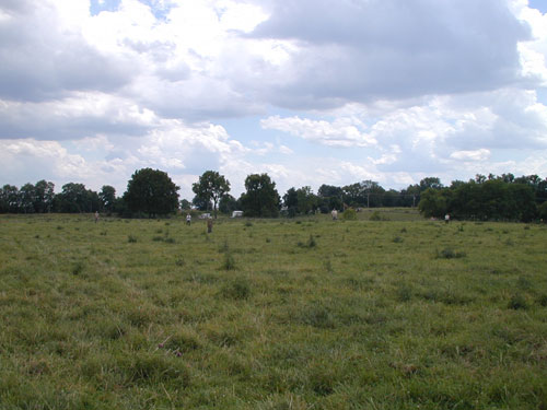
Overview of relief at the Prather site showing eroded mounds in the
pasture.
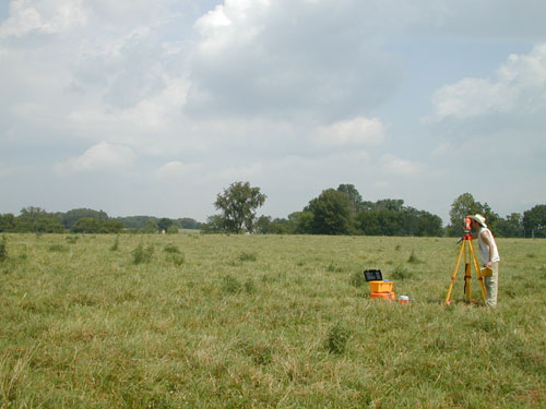
Andy White and Glenn Perry Harrell use the total station to collect
data for detailed topographic mapping. Mapping revealed four possible
mounds. Three eroded mounds were reported by E.Y. Guernsey in the mid-1930s,
but after several years of site examination he noted that the mounds were
difficult to discern. We don’t know which elevations Guernsey considered
to be mounds, nor which one he excavated in. The fourth probable mound
we saw may not have been recognized by Guernsey because the Prather family
house was built on one of the higher elevations at the site.
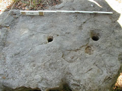
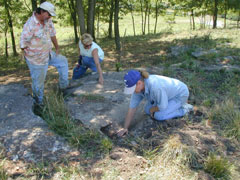
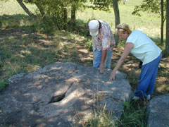
Shallow basin metates
and bedrock mortars are located near a permanent spring
on the southwest side of the site.
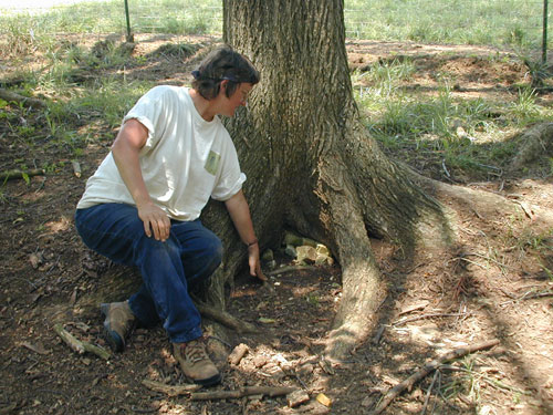
A medium-quality Devonian chert was found to outcrop on the west slope
of the site,
near the spring. (Jocelyn Turrner pictured)
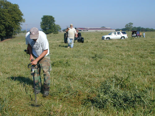
Mike Strezewski mows the tall grass to facilitate collection of augured
soil. Samples were excavated in several transects across the site at 20
m-intervals.
