|
CURRENT
RESEARCH |
|
VISITORS
& VOLUNTEERS |
| Co-Directors of the research project are Cheryl Ann Munson of Indiana Univeristy - Bloomington and Dr. Robert G. McCullough of IPFW. The project has received the generous support of: the landowner; professional archaeologists at many institutions in Indiana and Kentucky; the Falls of the Ohio Archaeological Society; regional historical organizations; and volunteers. |
|
Questions
or Comments?
|
|
Last
Updated 2.07.2004
|
Fall
2003 Work
Click on any picture for a larger version!
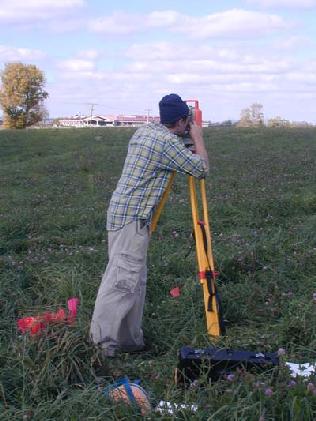
Our fall season of auger sample survey began by measuring
in the selected grid locations (Andy White using the total station).
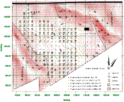
Auger sample locations for Fall 2003 work at Prather.
We selected auger sample locations based on the results of our spring work and the distribution of shell-tempered ceramics, which are the most common diagnostic Mississippian artifacts. Because the site is as large as initially reported, we prioritized samples so that we could at least identify several boundaries -- the north, west and south boundaries being the first priority. Then, if time allowed, we could tackle the east boundary as the second priority.
After the first week of work, we had measured and flagged 139 first priority samples. There are 27 second-priority samples (4 near the southeast and 23 near the east margins of the site).
Initial results from screening indicate that if we have time this year we need to expand sampling to the north to better identify the boundary of Mississippian ceramics in this area, which gives us a third priority (21 additional samples).
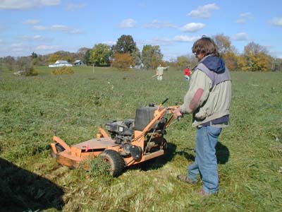
Mowing the area of the auger samples proved last summer
to be essential, since grass impedes collected the augured soil. This
fall the cows were gone and the grass high, so mowing was a big job. Jonathan
Criss uses a mower around one of the sample location flags. Thanks to
Harold Martin, the site owner, for loaning us this additional piece of
equipment.
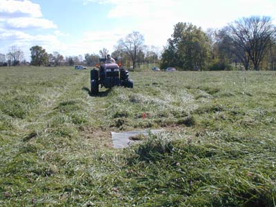
Harold Martin driving tractor and auger to the next
location to be sampled. The rubber mat around the flag helps us collect
the augured soil.
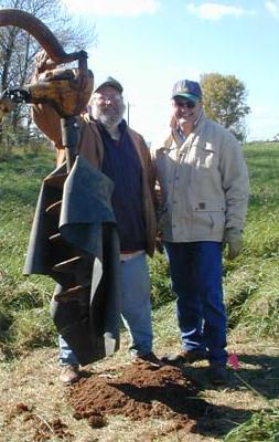
Co-Director Bob McCullough (left) and Harold Martin
(right) after the first day of auguring. Harold has not only owned the
site for more than 30 years but has become a key part of the research
team in his work with auger sampling.
