 |
|
CURRENT
RESEARCH |
|
VISITORS
& VOLUNTEERS |
| Co-Directors of the research project are Cheryl Ann Munson of Indiana Univeristy - Bloomington and Dr. Robert G. McCullough of IPFW. The project has received the generous support of: the landowner; professional archaeologists at many institutions in Indiana and Kentucky; the Falls of the Ohio Archaeological Society; regional historical organizations; and volunteers. |
|
|
|
Questions
or Comments?
|
|
Last
Updated 2.07.2004
|


2003
Summary and Future Plans
Click on any picture for a larger
version!

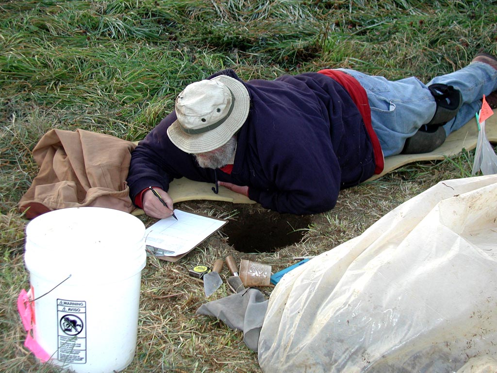
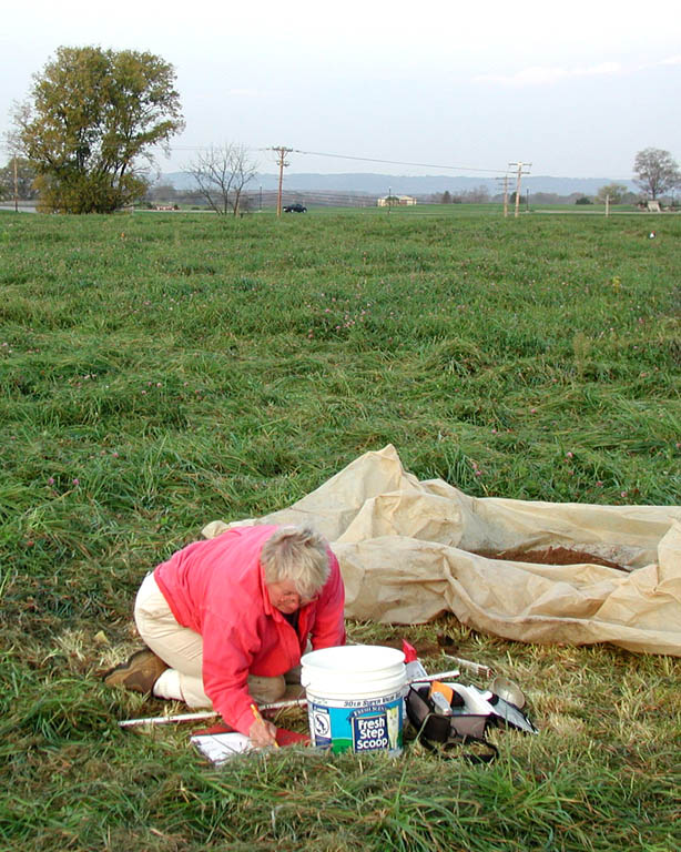
In sum, we excavated 192 auger samples in Fall 2003. Combined with the 51 auger samples from July, we have systematically collected artifacts at 20-meter intervals from 243 locations, covered the entirety of the reported site area in the present pasture/hay field, and sampled the topographic variability. We believe this survey coverage will enable us to delimit the Mississippian occupation, but boundary definition will depend on results of lab work and analysis of artifact distributions.
Bob McCullough and Cheryl Munson have proposed a second phase of survey at Prather site for 2004. The work will initiate geophysical surveys (magnetic, soils resistivity, and ground penetrating radar) in select transects, provide ground truthing of several geophysical anomalies, and obtain solid earth cores from one of the mounds. If the survey proposal is successful, Dr. C. Russell Stafford of Indiana State University will join the research team to lend his expertise for geoarchaeological study of the Southwest Mound. After geophysical surveys on this mound, solid earth cores will be extracted with a Giddings rig to assess mound construction stages, radiocarbon dating, and size. Our 2003 samples showed that charcoal is present in some of the stratified deposits on the crest and flank of the Southwest Mound.
Specific
future plans for additional auger samples will depend on results of artifact
distribution analyses, and whether closer-interval sampling is needed
to define boundaries of the Mississippian occupation or to delimit sections
of the Mississippian occupation area that may have been used as residential
zones, refuse disposal zones, or plazas.