 |
|
CURRENT
RESEARCH |
|
Learn
more about
Indiana Archaeology Month at Hovey Lake HERE! |
| Research
at the Hovey Lake site in 2003-2005 is supported by: a grant from
the Federal Highway Administration
(FHWA) under the Transportation Enhancement Program, Indiana
University, and private contributions. The Indiana
Department of Transportation (INDOT) administers the TE grant.
Also contributing to the research project are: Indiana
Geological Survey, Indiana
University - Bloomington Department of Anthropology, the Indiana State Museum, University of Southern
Indiana, University of Evansville,
Indiana State University, and
community groups and volunteers. |

  IU-Bloomington Anthropology Dept. |
|
Last
Updated 9.6.2004
|
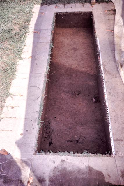
Excavations
based on the
Geophysical Survey Results
Block
9: Located on the edge of the plaza and excavated to test a radar
anomaly. The anomaly turned out to be a shallow feature, but a deeper
deposit was found in excavation that may be part of a large pit. This
area will be explored further.
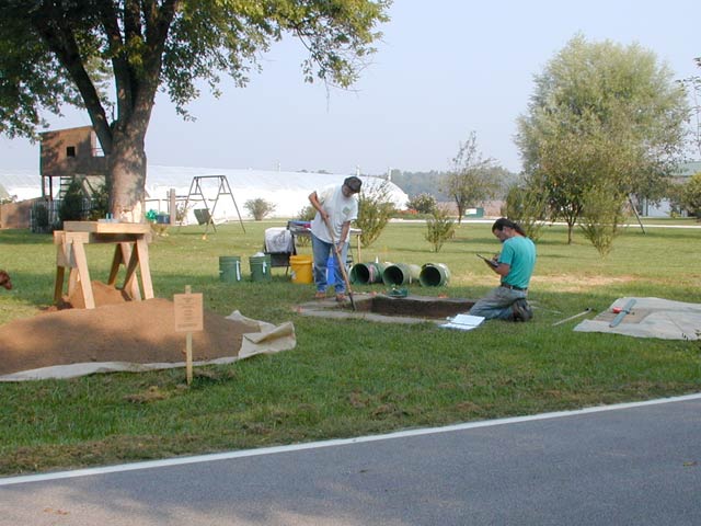
Jocelyn Turner and Rexford Garniewicz excavating block 9 which is in the
plaza.
Jocelyn Turner
drawing a wall profile for Block 9.
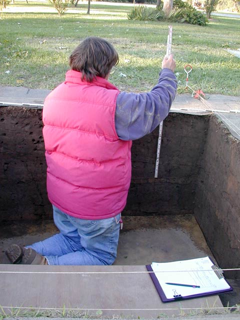
Block 10: Excavated to “ground truth” a large, rectangular GPR anomaly which suggested a house basin. The anomaly is indeed the remains of a house, a burned structure that had been built in a shallow basin.
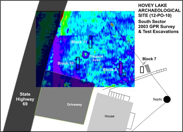
The radar anomaly
is a high signal reflection area that shows as a dark
blue rectangle located north of the driveway in the map.
The feature indicated probably extends under the driveway.
Click on the map for a larger version!
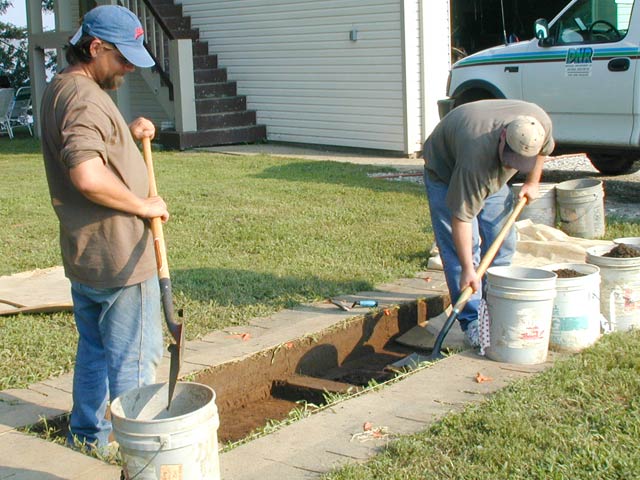
Jon Criss and David
Fox excavating the upper levels of Block 10,
which exposed the basin of the burned house.
Exposed house basin,
looking north.
The house basin’s location closely matched the dark blue radar anomaly.