Bone Bank Archaeological Research
Posey County, Indiana
Rescue Excavations at the Bone Bank Archaeological Site in Southwestern Indiana
 Introduction
Indiana's First Archaeological Excavation
Survey and Testing
Significance
Project Goals
Research Stages
Expected Results
Bone Bank in 2000
Planning for 2001
Current Work
In the News
Fall 2001 Lecture
References
Geomorphological History
Links
Introduction
Indiana's First Archaeological Excavation
Survey and Testing
Significance
Project Goals
Research Stages
Expected Results
Bone Bank in 2000
Planning for 2001
Current Work
In the News
Fall 2001 Lecture
References
Geomorphological History
Links
September 12 to 16, 2001
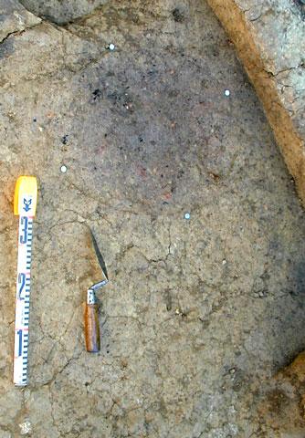
Block 1: Few of the features defined at the base of the plowzone appear to be prehistoric. This circular feature, seen in plan view, may be a small pit or a large posthole.
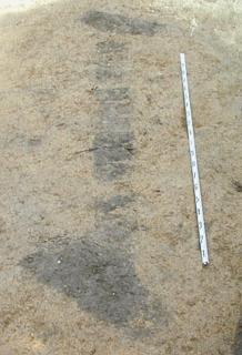
Block 1: 3-meter long complex of three historic features of unknown type (looking northwest), associated with the mid 19th to early 20th century Euroamerican farm at the Bone Bank site (house, barn, and outbuildings lost to bank erosion). Note the small rectangular features at both ends of a long linear feature.
Has anyone seen similar features at other sites? If so, please write me a note (munsonc@indiana.edu).
(The irregular dark feature at the left is a modern intrusion.)
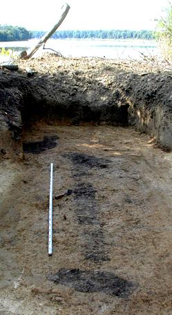
Block 1: Complex of three historic features (looking southeast).
Block 2: It was sometimes hard to concentrate this week on research work, given people's feelings about the attack on our country. We placed flags and kept working.
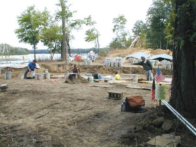
Block 2: Buckets are tagged with field specimen numbers and provenience information in the "staging area" (foreground), passed to the excavators, and when ˝ full carried to the "water screen area" (background) on the other side of the excavation block. Each 10 cm level in a 1 x 1 meter unit requires about 15 buckets.
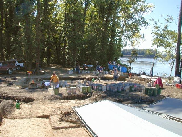
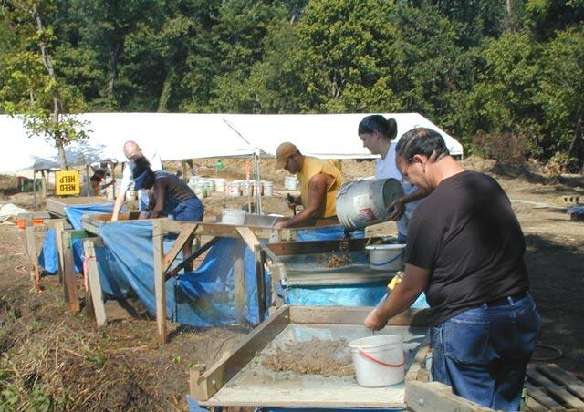
Water-screening through quarter-inch mesh is used to recover artifacts from the excavated deposits. Students and faculty from nearby universities - University of Evansville and the University of Southern Indiana - volunteer to help the research team with this important part of the project.
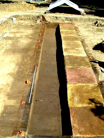
Block 2: Units 4A-4J at the base of level 5. Note the dark midden deposits (Zone B) in the foreground closest to the riverbank (beginning with Unit 4A through 4E), and lighter soils resulting from historic alluvium (Zone D) in Units 4F-4J in the background at greater distance from the riverbank. Zone B dips in Units 4F-4J and may stay the same thickness, become thicker [:-)], or pinch out [:-(]
Previous Weeks
First Week (August 22-26, 2001)
Second Week (August 29 - September 2, 2001)
Third Week (September 5 - September 9, 2001)
Fourth Week (September 12 - September 16, 2001)
Fifth Week (September 19 - September 23, 2001)
Sixth Week (September 26 - September 30, 2001)
October (October 1 - October 26, 2001) Part 1
October (October 1 - October 26, 2001) Part 2
Thanks Everyone!
Current Week
Return to Top
Last updated on 9/17/2001
Send Comments to: munsonc@indiana.edu
Site sponsored by Indiana
University