
Survey and Testing
|
Systematic surveys and test excavations at Bone Bank were supported by matching-fund grants from the Historic Preservation Fund (administered by NPS and the Indiana Division of Historic Preservation & Archaeology). | |
|
|
|
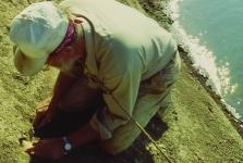
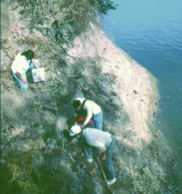
| Collecting artifacts and soil samples | ||
|
||
| Mapping topography, exposed artifacts, strata, and features | ||
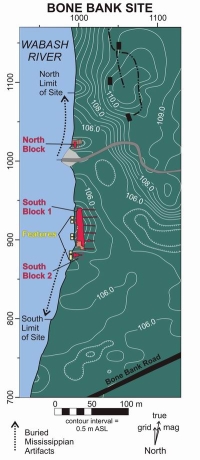 |
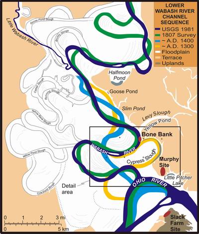
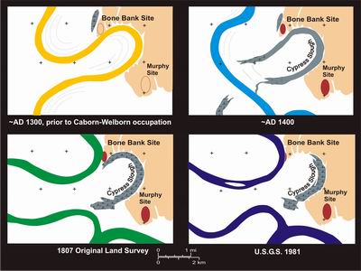
Artifact and feature distributions and geomorphology indicated Mississippian deposits in three depositional settings:
|
|||
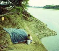 |
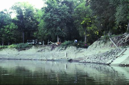
Initial test excavation on the riverbank documented sealed Mississippian midden deposits with Caborn-Welborn phase artifacts. Several Late Woodland ceramics were also found at the base of the deposit. | |||
| Excavation of flotation samples from pit features exposed on the riverbank showed that, while the cemeteries and residential areas on the high ground had been eroded away, some village features still remained. Most pit features contained Caborn-Welborn phase materials. | 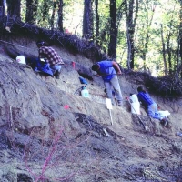 |
|||
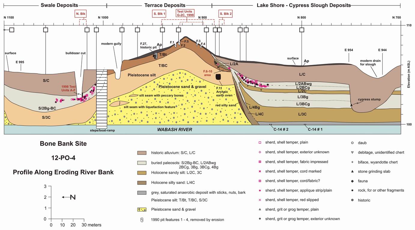
(Click for full-sized version)
Survey & Testing Results: Assessment of Contexts and Preservation
Table of Contents |
Next Page |